Innovations In Ground Penetrating Radar Technology
Navigating subsurface complexities is a major challenge in construction, archaeology and environmental studies. Unknown underground factors can cause delays, extra costs and hazards. Ground penetrating radar (GPR) technology has advanced significantly, providing clarity and transforming subsurface investigations. These innovations enhance imaging accuracy and unlock new applications across various industries. In this blog, we’ll explore the latest GPR advancements and their benefits.
How Innovations in GPR Enhance Subsurface Imaging and Data Accuracy
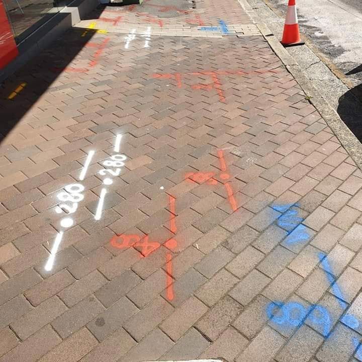
GPR technology is widely used for locating and mapping underground utilities, such as pipes, cables and conduits. Advanced GPR systems provide accurate and detailed maps of these utilities, helping to prevent damage during excavation and construction projects. One of the key innovations is the development of multi-frequency GPR systems. These systems operate across a range of frequencies, providing a more comprehensive view of the subsurface. Lower frequencies penetrate deeper but with less detail, while higher frequencies offer greater resolution at shallower depths. By combining these frequencies, multi-frequency GPR systems can produce detailed and accurate images of subsurface conditions.
Another significant advancement is the integration of real-time data processing and visualisation capabilities. Modern GPR systems can now process and display data in real time, allowing users to see subsurface conditions as they survey an area. This immediate feedback enables on-the-spot adjustments and more efficient data collection, reducing the time and cost associated with subsurface investigations.
Unlocking New Applications with Advanced GPR Technology
Advancements in GPR technology have expanded its applications across various fields, offering new opportunities and solutions for subsurface investigations:
- Environmental and Geotechnical Surveys: GPR is utilised in environmental and geotechnical surveys to assess soil conditions, locate groundwater and identify subsurface anomalies. These applications are crucial for environmental assessments and infrastructure development.
- Archaeology and Cultural Heritage: GPR has become an invaluable tool in archaeology, allowing researchers to explore and map buried structures and artefacts without disturbing the ground. This non-invasive approach helps preserve cultural heritage sites while providing valuable insights into historical contexts.
- Road and Bridge Inspections: GPR technology is used to inspect the integrity of roads, bridges and other infrastructure. By detecting subsurface defects and assessing material conditions, GPR helps ensure the safety and longevity of critical infrastructure.
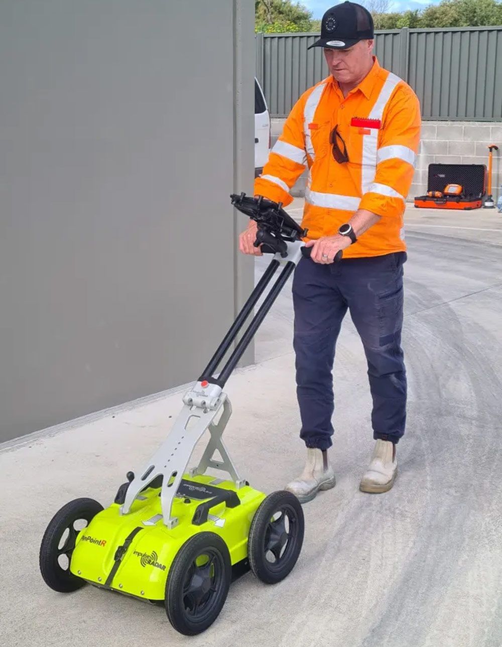
Harness the Power of Modern GPR Technology
By harnessing these innovations, you can make informed decisions and address subsurface challenges with confidence. At
Dowd’s Pipe and Cable Locating, our cutting-edge GPR systems and experienced team ensure you receive accurate and reliable subsurface data for your projects. Let us help you uncover the hidden details that can make all the difference in your projects.
Contact us today to explore the possibilities of ground penetrating radar in Wollongong!